Helping Coastal Communities Access Data
Yesterday, alongside MP Bill Casey, I announced $877,838 for the Maritime Aboriginal Peoples Council to participate in a pilot project to develop, test, and evaluate a new maritime awareness information system. This national system is a key component of the Oceans Protection Plan’s Enhanced Maritime Situational Awareness (EMSA) Initiative.
The five-year, $62.5 million Enhanced Maritime Situational Awareness (EMSA) Initiative was announced in November 2017 and will help coastal communities access relevant data so they can make local decisions to plan vessel routes, identify sensitive areas, increase safety on the water, and help protect the environment. The web-based system will display a range of valuable near real-time maritime information, including data on vessel traffic, weather, and conservation areas from coast to coast to coast.
To date, our government has announced over 50 initiatives under the Oceans Protection Plan since its launch in November, 2016. We recognize the importance of local knowledge and expertise in decision making, and are grateful for the collaboration and partnership with Indigenous organizations, including the Maritime Aboriginal Peoples Council, to develop and test this new maritime awareness information system.
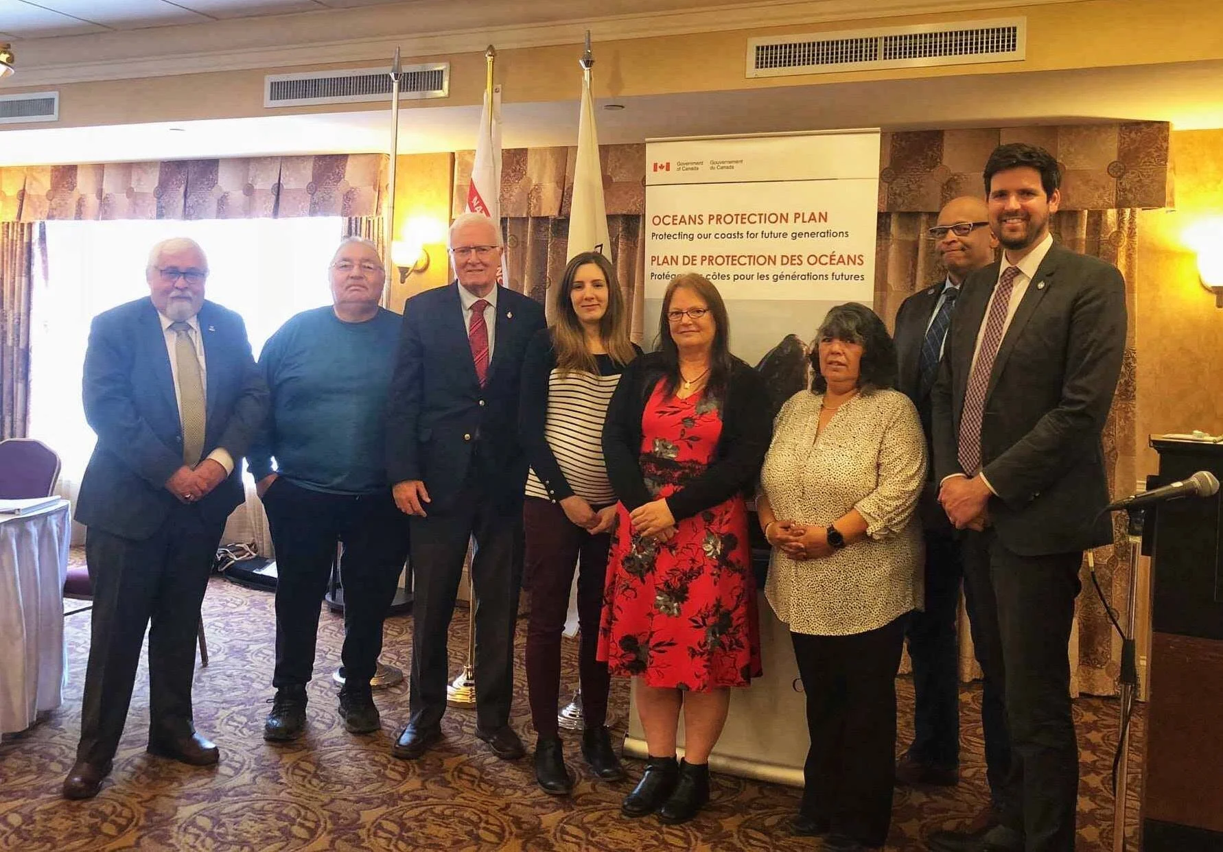
Oceans Protection Plan & Enhanced Maritime Situational Awareness announcement, April 18th, 2019